
Western North Carolina, 2025
On September 26, 2024, the people of western North Carolina were ransacked by Hurricane Helene. The Category 4 storm left utter devastation in her wake, even though by then she was “only” a tropical storm. Despite being hundreds of miles inland from the coast, where hurricanes are more usual, the region felt the impact as Helene amplifyied their already rain-soaked terrain. Although the full count may never be known, there were 108 verified storm-related deaths. Overflowing rivers inundated infrastructure: bridges, roads, and railroads. Landslides (about 2,000, mostly in western NC) added to the toll. Wind gusts up to 60 mph (one measured at 106 mph on nearby Mount Mitchell) weren’t helpful, either. Hundreds of businesses and homes were heavily damaged if not utterly wiped off the map.
The scratches on Kermit are from trees floating inside this restaurant scratched at it during the flood...
So, in June 2025, two buddies and I decided to take an autumn trip to the hill towns of Hot Springs, Marshall, and Asheville, NC. Our express purpose was to infuse some tourist dollars while these communities continue to get back on their feet. We booked flights, and arranged five nights in a (delightful) cabin near Hot Springs plus a night in Gatlinburg, devastated by wildfires in 2016, killing 14 people and injuring 190.
Wow, what an experience! During our week in November, we met tough, grateful, friendly, resilient people. Six weeks after the storm’s first anniversary, they were glad to see us. We spent time (and dollars!) in shops and restaurants everywhere we went. Our day in Asheville was mostly spent at Biltmore (a must-see, by the way - stay tuned for another blog).

Our day in Marshall was with my cousin Susan, whose second-floor apartment in the old mill was inches above the French Broad River’s flood waters (which reached the first floor ceiling). (Support this talented artist if you can! See her jigsaw puzzles, cards, and more at https://www.mcchesneyart.com/). We enjoyed sea bass tacos at a main street restaurant reopened just that week, and stopped at several shops and art galleries. Each proprietor could tell a mud-caked story.
The colors of the tail end of autumn
We mostly spent time in the Hot Springs area, 16 miles north of Marshall and 36 miles north of Asheville. Because the French Broad River flows north, Hot Springs not only got flooded by local rain, the flood waters from both the other towns hit it, too. To boot, the river merges with Spring Creek in downtown Hot Springs. At its worst, the water there pulsed at 101,000 cubic feet per second, “equal to the amount of water flowing over Niagara Falls in high season and ten times stronger than the Class IV rapids in the Colorado River at the Grand Canyon.” [Source: Stronger Than The Storm, edited by Shelley McKechnie–the profits of which benefit local recovery efforts, available online]
The symbol for the Appalachian Trail and our feet!
In the fresh wake of my own orthopedic recovery which has taken most of 2025, I tested my rehabbed body for three days on hiking trails in the area. First was a 2-mile meander along a peaceful river the day we got back from Marshall. That went well, so the next day, using excellent hiking pamphlets produced by Madison County Outdoors, we had two lovely hikes. First was along the banks of the French Broad River, then steeply up to Lover’s Leap. The story goes that a Cherokee chief strategically wanted his daughter to marry another powerful man, who murdered her heart’s desire. She jumped from the cliff to be reunited with her love...and the murderer was attacked and killed moments later by a panther. Happily, the forest was autumn-colored and calm for us on this 1.7 mile hike.
The view from the top of the Rich Mountain Firetower
Later, we hiked 1.1 miles on a tranquil, off-the-beaten-track called Betty Place. The path meandered past immense rhododendron bushes blanketing the hillside. Surrounded by very tall trees, we crossed the creek and looped down the other side of the drainage. Then we headed to our cabin for the hot tub and movie night with popcorn!

Our final day on the eastern flank of the Smoky Mountains was my first true test: a 5-mile out-and-back hike up 1,430 feet on the Appalachian Trail to Rich Mountain Firetower. The day was cool but clear, and splendid. After regrouping (including hot tub time), I felt great physically. Our souls were then nourished by an evening of bluegrass music at the local brewery.
Our next plan was to drive south on Highway 209 to the eastern portal to Great Smoky Mountains National Park. The route included the famous section known as The Rattler. This popular road has 290 curves in 24 miles. Driving it on a (very) low traffic day was really fun, just sayin’.
Sculpture at the east end of Tail of The Dragon
Soon after, at the national park’s Oconaluftee Visitor Center, our plan to drive west to Gatlinburg via the park road was thwarted. The road over the top was snowed in. But then we realized the southern route around the bottom of the park would take us to the famous Tail of the Dragon. This notorious, iconic section of road bested The Rattler, with 318 curves in just 11 miles! Because it was a snow-squall day in November in North Carolina, we got to drive in nearly solitary splendor. W.h.a.t. F.U.N.
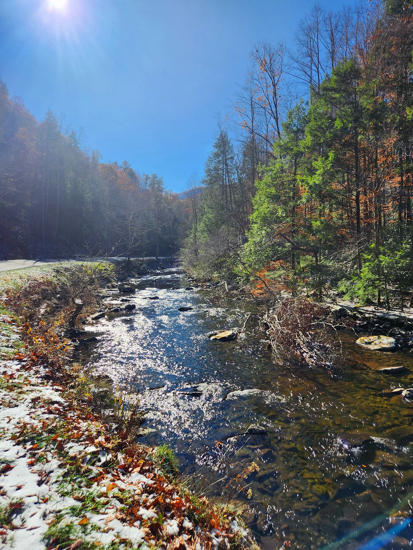
Laurel River, Great Smoky Mountains Nat’l Park
On our final day, we drove to Cade’s Cove in the park (worth the drive). Suddenly, a black bear heading uphill from the Laurel River crossed right in front of our car! Later, it was time to head to nearby Knoxville and the flights home. It was a wonderful week in mostly natural settings and mostly beautiful late-autumn weather. Walking and eating and shopping (and dropping tourist dollars!) in places still rising from the devastations of last year were worth every bit of the effort to go there.
From a meadow in Cade’s Cove up to the snow-tipped mountains


