
The Canary Islands!
Raise your hand if you think the Canary Islands were named after the bird. Yes? In fact, the famous yellow bird was named after the islands. Actually, it is said that the name stems back to Roman author and naturalist Pliny The Elder. His writings from the first century mention an expedition around 40 BCE led by Juba II, king of Mauritania. Juba II called the island group “Canaria” in recognition of the multitude of canes [Latin for “dogs”] of great size he discovered there. Now you know!
A point of clarification: the “dogs” may have actually been monk seals, also known as “sea dogs.” Either way, the flag of the Canary Islands includes two lovely canines.
This cute bird is not a canary! Seen on Tenerife.
Map of La Palma & the “new” volcano, Tajogaite
More than two thousand years after Juba II, in May, 2025, I arrived in the Canary Islands after a lifetime of dreaming to see that intriguing place. Our approach was by sea in the midst of a two week venture through Macaronesia aboard the National Geographic Orion.

Setting off in the clouds
Walking on black ash from 2021's eruption
Macaronesia (not Macro- or Micronesia) consists of four island archipelagos, all volcanic in origin, scattered across the Atlantic Ocean off the northwest coast of Africa: Cabo Verde, Canary Islands, Madeira, and the Azores. Small, but mighty, they boast a unique biodiversity with numerous endemic species of plants and birds, and also a solid place in the history of maritime exploration and the slave trade in centuries past. Nowadays, they are kept afloat mostly through tourism.
The Tajogaite caldera – all from the 2021 eruption
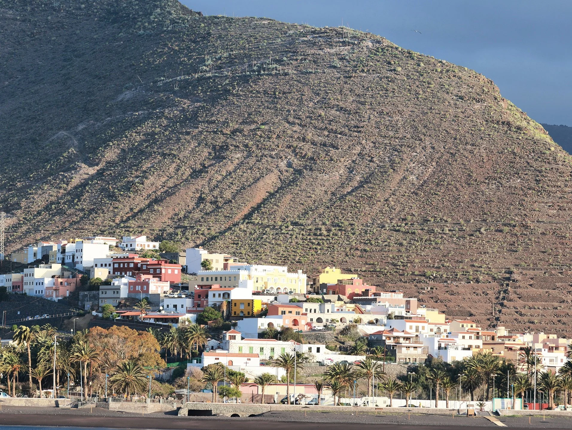
Our itinerary landed us on three of the seven main islands in the Canaries: La Palma, La Gomera, and Tenerife.
The island of La Gomera
La Palma, pop. 85,000, is largely characterized by rugged, forested terrain. After a morning browsing the main city of Santa Cruz de la Palma, we rode a bus to the heights and hiked from the cloud forest down past the rim of a volcano named Tajogaite, which erupted for 85 days in 2021 and is still burping gases. The pumice quality of the volcanic “ash” (really, more like fine gravel) took its toll on the soles of our boots. (The only death reported during the eruption was of a man trying to shovel the ash off his roof– it is very heavy!)
One of the La Gomera orchestras

La Gomera beach plaza showing Columbus’s journey
Overnight we steamed 50 nautical miles over to La Gomera Island, pop. 22,500, which has a diameter of just 14 miles. (Of historical interest, La Gomera was the last port of call for Christopher Columbus before he headed west into the unknown in 1492.) On La Gomera, I took leave of the group to follow my own whims. From my journal: “It feels like a long, delicious exhale.” I wandered the town of San Sebastian, where I found the Municipal Market and had a refreshing beverage at a local’s café.
What I enjoyed most was stumbling across a “battle of the bands” under a large tent in the town square. Two robust orchestras, one from San Sebastian and the other from the nearby east coast town of Hermigua, were doing a great job on the occasion of an island book fair event called “Musica y Letras.” The quality of the playing was high, and they looked sharp in matching suits, lime-green ties for one, red ties for the other. They deserved to feel so obviously proud that the island could mount not one, but two, such orchestras.
Tenerife market with pricey papas negras!

Forest of the Enigmas on Tenerife
Because of impending rough seas for the next phase of our journey, our trip leaders called for a bonus day in the Canary Islands. We steamed over to Tenerife, a popular tourist destination, especially for Europeans. It is the largest of the Canary Islands, and the most populated (trending toward one million). Many probably recall also that it was the site of aviation’s deadliest commercial crash in March, 1977 when two Boeing 747s collided on the runway in heavy fog, killing 583 souls.
Laurisilva forest

View of Tenerife island
Our day in Tenerife included a visit to a market in the UNESCO site of Old Town, where we also visited the famous 1580 Catholic church, Real Santuario del Cristo de La Laguna. In the countryside, we hiked along a splendid path, now disused, along which people would travel to carry their agricultural and crafted goods to market long ago. The terrain (much of which is protected) is characterized by lush “laurisilva.” These laurel forests of shiny, broadleaf trees are found in subtropical places where they can rely on stable, mild temperatures with high humidity.
The old road to market, through the laurisilva
The Canary Islands have been under Spanish control since the Treaty of Alcáçovas in 1479, when Spanish sovereignty took over from the Portuguese, who had arrived in about 1420. These days, the region is an autonomous region of Spain. Since the language at our other stops was Portuguese, being in the Canary Islands made me happy to try out my Spanish language skills. Our visit was tantalizing—and too short, which probably means making a return trip someday!
[Note: joining me on this trip was my brother. If it interests you to read his “take” on the journey, see his website at sheepdogguides.com/tr/atlan25/atl-itin0.htm]


